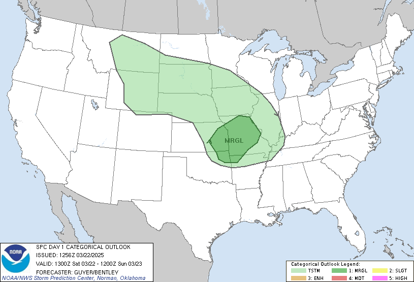
 Good Morning, I have posted both the Severe Weather Outlook and a MD as a Tornado Watch is likely north and North east of KC. The other pic is the image of the radar at around 10:15am, that brown line I drew is the DryLine (above). I think storms will develop to the South and move up to KC. They Could be severe, we are in a slight risk with a small chance of Tornados I'll keep you posted. Click to enlarge all.
No comments:
Post a Comment