Look at the radar pic from around 11:15pm tonight, and you can see T-Storms starting to develop, along and ahead of the Warm Front.

I am thinking now that we will likely see T-Storms in the morning. And then the storms will clear out, and we should be left with a Partly Cloudy to Mostly Sunny day with Temps around 95-101 degrees. Look at the surface forecast and temp forecast by the GFS, tomorrow at 7pm:


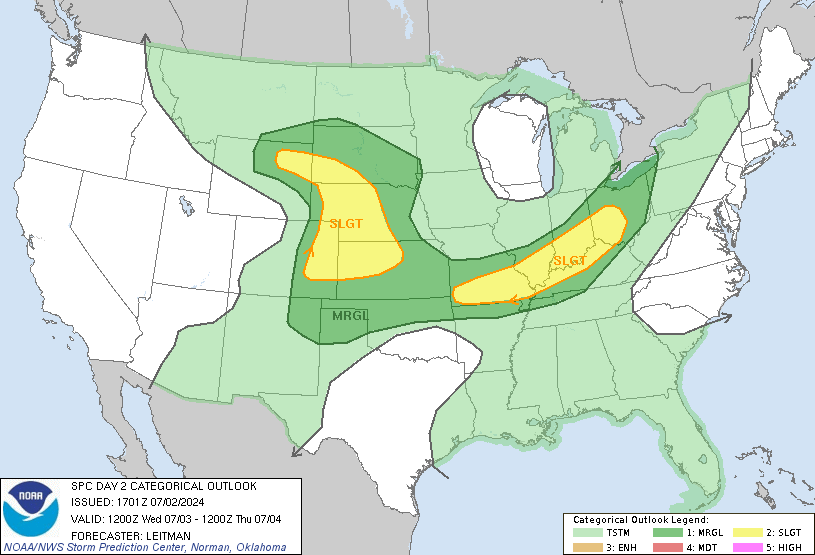
The Warm Front is forecasted to be around downtown. SW & SE of this front, Winds will be from the SE switching to the South with Temperatures 96-101+ degrees. I am going with 99 for KC tomorrow (at KCI)with 100s just SW of K.C. A Cold Front will move through Tuesday Night/Early Wednesday and the Heat will go away along with a little bit of the Humidity. You can watch the latest WeatherCast PLUS HD forecast, just click on the link on the left. The SPC has put us under a SLIGHT Risk for Severe Weather tomorrow as the Warm Front moves through and when the Cold Front moves through Tuesday Night.

Have a Great Night/Tuesday! Thanks for visiting the My KC Weather Blog!
Andrew