Saturday, January 22, 2011

Snowfall Forecast & Global Warming DVD from Answers in Genesis

EDIT: 11:05pm Here is the latest Snowfall Map click to enlarge:


---------------------------------------------------------------------------------------
I just watched this dvd on Global Warming which was very good!! Check it out Answersingenesis.org Online Store for more info!! Global Warming from Christian Perspective! Thanks for coming, hope to update this soon. Winter Weather Advisory is in effect with 1-5+" possible, hope to have a snowfall forecast made by tonight!!!

Thursday, December 23, 2010

christmas2010

4x8 Photo Card Print Your 4X8 Photo Card
Modern greeting cards and party invitations by Shutterfly.
View the entire collection of cards.

Sunday, November 28, 2010

Monday, July 13, 2009

A HOT Tuesday!

Good Late Night/ Tuesday Morning,

Look at the radar pic from around 11:15pm tonight, and you can see T-Storms starting to develop, along and ahead of the Warm Front.


I am thinking now that we will likely see T-Storms in the morning. And then the storms will clear out, and we should be left with a Partly Cloudy to Mostly Sunny day with Temps around 95-101 degrees. Look at the surface forecast and temp forecast by the GFS, tomorrow at 7pm:


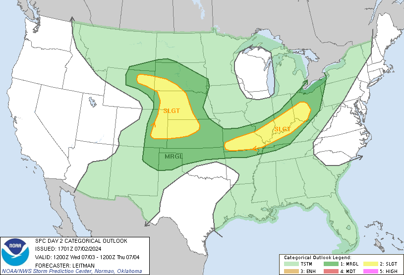
The Warm Front is forecasted to be around downtown. SW & SE of this front, Winds will be from the SE switching to the South with Temperatures 96-101+ degrees. I am going with 99 for KC tomorrow (at KCI)with 100s just SW of K.C. A Cold Front will move through Tuesday Night/Early Wednesday and the Heat will go away along with a little bit of the Humidity. You can watch the latest WeatherCast PLUS HD forecast, just click on the link on the left. The SPC has put us under a SLIGHT Risk for Severe Weather tomorrow as the Warm Front moves through and when the Cold Front moves through Tuesday Night.


Have a Great Night/Tuesday! Thanks for visiting the My KC Weather Blog!

Andrew

Tuesday, June 16, 2009

Greensburg Radar Pics

Good Morning wet & Soggy Kansas City!!

We had 2.16" of rain here officially at the KC Weather Station. I hope with summer here that I will have more time to update this!!! I have alot of stuff on my plate right now. Job Hunting is Number 1!!

Take a look at these pics I took from our new Xtreme 3D Stormtrak radar!!


(Click on the Pictures to enlarge them)
Have a Great Day, and I'm gonna try to update things tonight for the first time in 4 months!!!

Andrew


Wednesday, February 4, 2009

Been a few days

Good Morning,

I hope to update the blog sometime this afternoon, as I am planning to update the 7 day Forecast, and maybe Weather Cast Plus!! It's Cold out there!! For current temps, just go to Live Storm Tracker Radar. Click on the link on the left in the links section! It should get up into the Mid- 30s as we have a big warm up starting!! And maybe some Spring Thunderstorms??? I'll have that in this afternoon's update!!


Have a Great Day!

Andrew